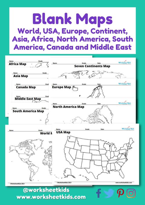
Embark on a thrilling global adventure from your living room or classroom with our free printable blank maps. Perfect for parents, teachers, and homeschoolers alike, these maps are an engaging and interactive tool to teach geography to students from grades 3 to 8. These printable maps offer a fun-filled educational journey from the bustling United states (US), continents of North and South America to the diverse landscapes of Europe, Asia, Africa, and the Middle East. Navigate the world, one printable map at a time, while enhancing your child’s understanding of global politics, culture, and geography. Let’s start the journey!
As a parent, teacher, or homeschooler, you’ve got the exciting task of guiding young minds on a journey across the world. What better way to do this than with our free printable blank maps? Get ready to navigate from continent to continent, exploring the world’s wonders in your classroom or living room.
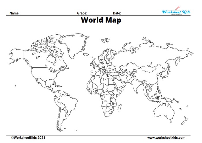
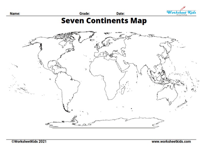
Start With the Big Picture: A Printable World Map
Our printable world map provides a blank canvas for kids to start their geographical adventures. Perfect for students in grades 3–8, it’s a wonderful resource to learn about the continents, practice geographical terms, and get a basic sense of the world’s layout.
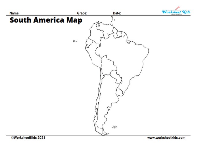
Sketching the World: From USA to South America with Blank Maps
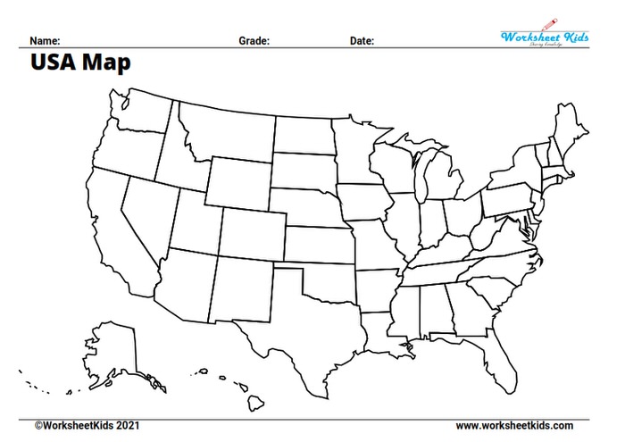
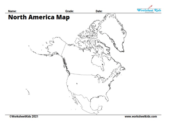
Diving a little deeper, we’ve got blank maps of each continent ready to print and explore. Get the kids to fill in North America, home to the United States (USA) and Canada. Then, head down south to the diverse landscapes of South America. Our printable maps make the journey easy and fun, one continent at a time.
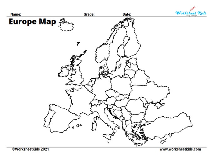
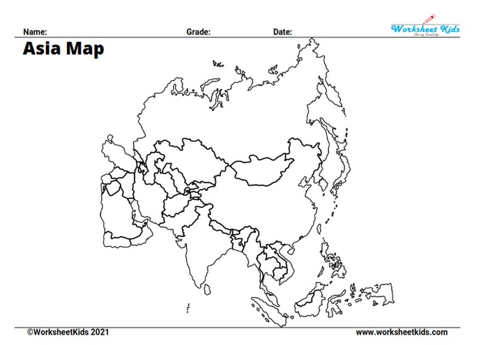
Europe and Asia: From the Eiffel Tower to the Great Wall
As students move to grades 4 and 5, it’s time to embark on a virtual journey to Europe and Asia. With our printable worksheets, you can help them understand the diverse political landscape of these continents. Bonus points for filling in all the countries in tiny, diverse Europe and massive, populous Asia!
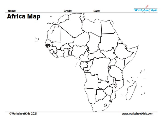
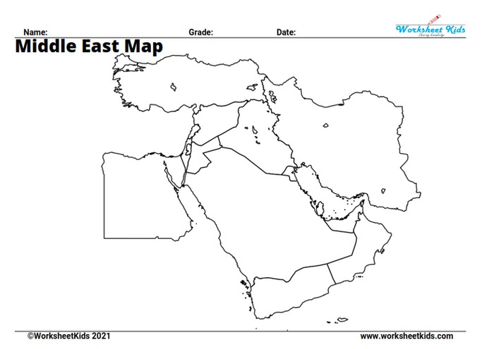
Uncover the Wonders of Africa and the Middle East
The terrain gets more diverse as we traverse Africa and the Middle East in grades 6 and 7. Each printable map offers a clear outline of these politically rich and diverse regions. They serve as great practice for children, encouraging them to explore the world in an interactive way.
Blank Continent map
Teachers and parents, grab your printable blank continent maps and gear up to teach geography in a fun, interactive way. Our map wonderfully highlights the geographical features of Europe, Asia, North America, South America, Australia, and Antarctica.
Use this map to ignite students’ curiosity about the world. It’s not just about memorizing locations – it’s about understanding how geography shapes our world.
And the learning doesn’t stop once the lesson ends. Encourage students to color in the map afterwards, making it a personal artifact of their educational journey. This map isn’t just a teacher’s handy tool for classroom lessons or homework assignments; it’s also perfect for parents seeking to supplement their children’s study of geography at home.
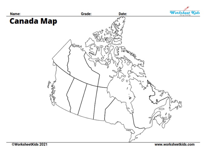
Blank map of Canada
Get ready to delve into Canada’s vast and diverse geography with our printable blank map. Ideal as a worksheet for teaching your child or as a reference for parents seeking engaging activities, this map simplifies the complexity of this enormous country.
Studying Canada for the first time can seem challenging, but our map is here to guide you. Whether you’re an elementary school teacher, homeschooler, or parent, this map will spark fresh ideas for teaching content area geography.
Our blank political map of Canada consists of three main sections: topography, landforms, and boundaries. The topography section labels feature mountains, rivers, lakes, and more. Meanwhile, the landforms section provides descriptions to help children grasp the geographical diversity of Canada.
Mastering Geography: Political Maps and More
By grade 8, your students or children are ready to tackle the detailed political maps of the world. They will fill in countries, capital cities, and major geographical features. Our printable political maps are the ultimate challenge and the perfect tool to round off their globe-trotting education.
Easy to Use and Print: PDF Format Maps
Every map of the world, a continent, or a specific country comes in an easy-to-print PDF format. That means they’re always ready for a geography lesson whenever inspiration strikes.
Wrapping Up the Journey: From Homeschool to Classroom
In conclusion, our free printable maps are an indispensable resource for teachers, parents, and homeschoolers. From teaching about the world to detailed political maps, these maps cater to grades 3 through 8, fostering curiosity and learning. Print a few today, and let’s take your students on a journey around the world from the comfort of your home or classroom!